-
RePhoto for Urban Tree Surveys
The semester is coming to a close here at The University of North Texas. This will be my final post of the semester, but not of this project. I’ll be continuing this into the summer and fall. I’m not sure where it will go after that. But I want to still contribute to this project. I have more than enjoyed the process and studying I’ve been able to do as a part... -
Precision (and updates)
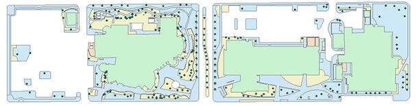
So quick update on the project! We FINALLY got the points into rephoto. So I’ve been taking photos about every other day for the last two weeks. The next step in from here I think is going to be recruiting people to help take those pictures. I think it will be important to have other people try and replicate the images I am creating. It will tell us if and outside people will... -
Update on UNT Tree RePhoto (photography)
These last few weeks here in denton have been a bit crazy. We’ve had everything from snow and ice to 90 degree weather and rain in-between. Because of the weather closing school and spring break happening just after that, its been an uphill battle to get back into school. So this is where the project stands. We have been trying to get data points input into the rephoto app so we can... -
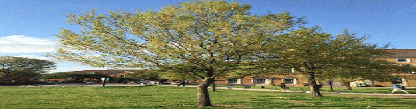
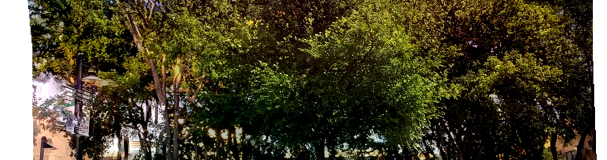
How to Monitor Urban Forests from the Ground Up.
This project is a step in a quest to build a system that can monitor and catalog urban forests. What I am focusing on is the integration of LiDar and ground level images. LiDar in its most basic sense is a remote sensing technique where lasers are shot from a plane. These lasers then build a surface model of the ground. The lasers are detailed enough to shoot through trees and build...